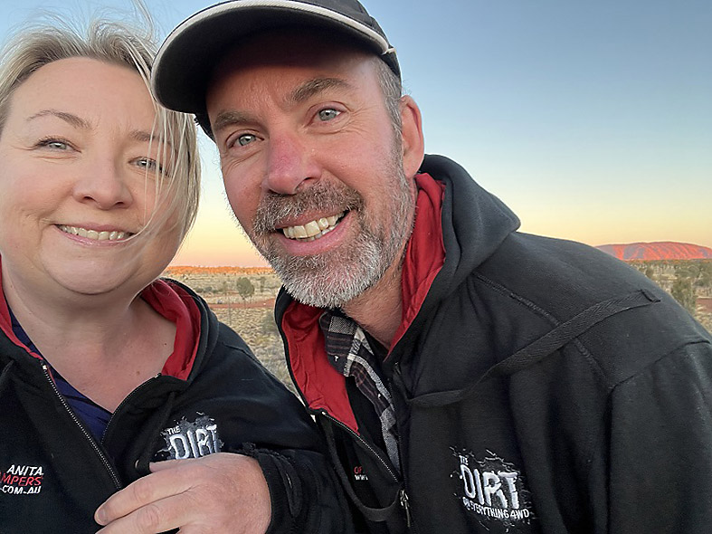
Crossing three deserts and seven protected conservation reserves, we follow the footsteps of Len Beadell to put the new Tvan Lightning to the ultimate test – the Anne Beadell Highway!
It’s just before sunset as we head west from the opal mining town of Coober Pedy, keen to hit the Anne Beadell Highway, one of Australia’s most remote outback treks.
We normally avoid travelling at dusk to avoid the risk of animal strike, but we are driven by a tight timeline of 17-days to traverse 5,700km of largely uninhabited country.
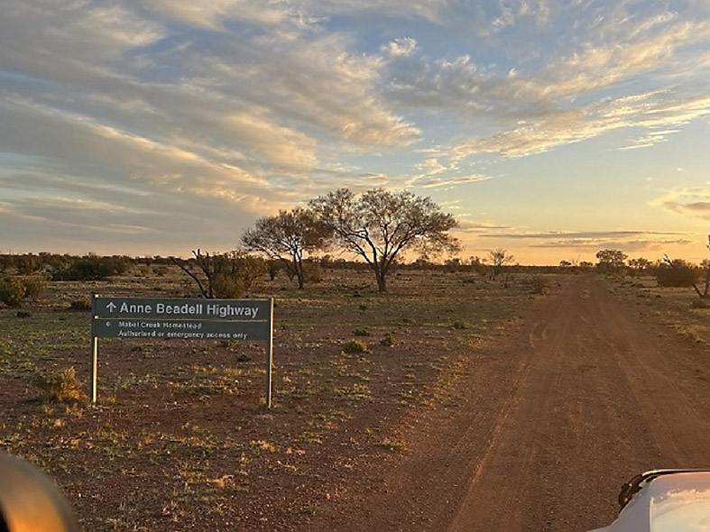
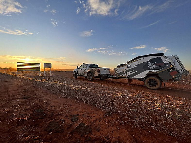
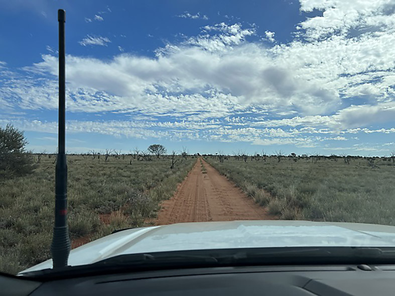
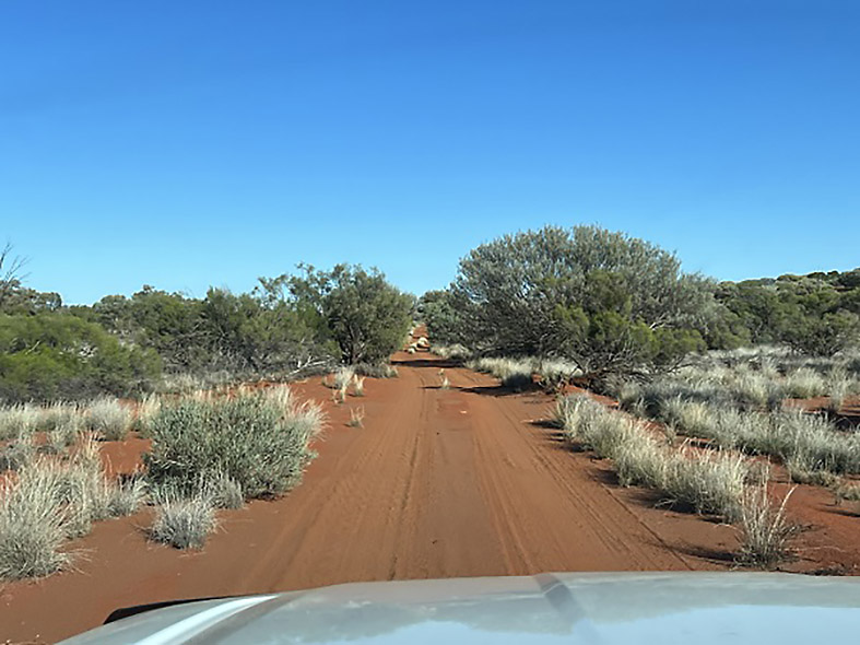
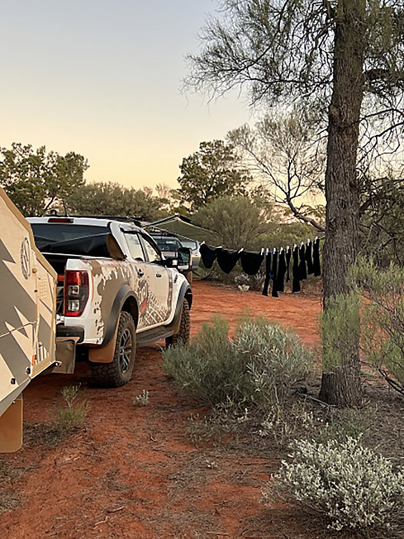
Keen to wring the last few hours of daylight, we press on to the Dog Fence, the start of the Anne Beadell Highway. Here the graded tracks of Mable Creek Station give way to soft sand, mandating an immediate adjustment of tyre pressures and traction systems.
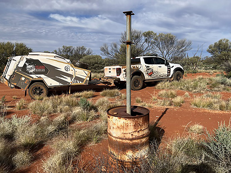
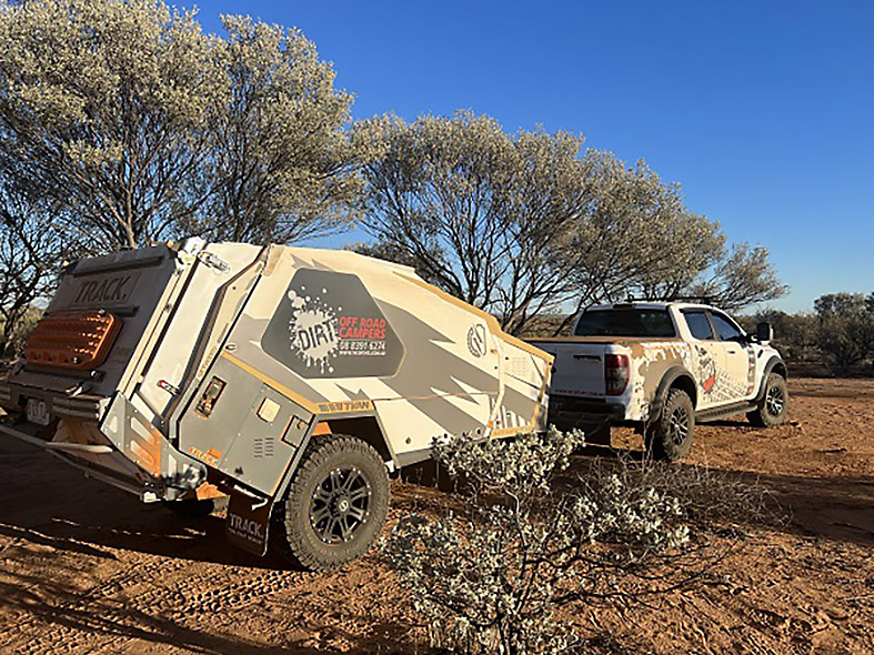
With Sustainable Camping a key driver for this trip, along for the ride is the new Track Trailer Tvan Lightning, designed for low footprint off grid living. A large Lithium battery bank (500 amps) powers the Tvan replenished though a large solar array (360 watts) and an advanced Redarc charging system.
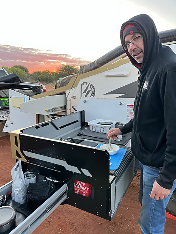
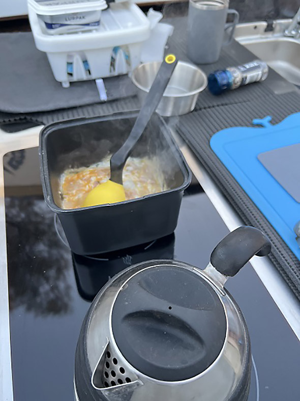
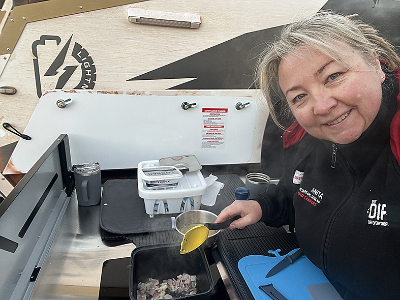
And rather than using a typical gas stove, the Tvan uses a Safiery dual hob induction cooktop, providing instant punch for cooking, regardless of wind or wet weather. Add diesel heating/hot water, a big 2000W inverter, premium kitchen, loads of storage, fridge box, swing around awning, and it’s a formidable touring package for all conditions.
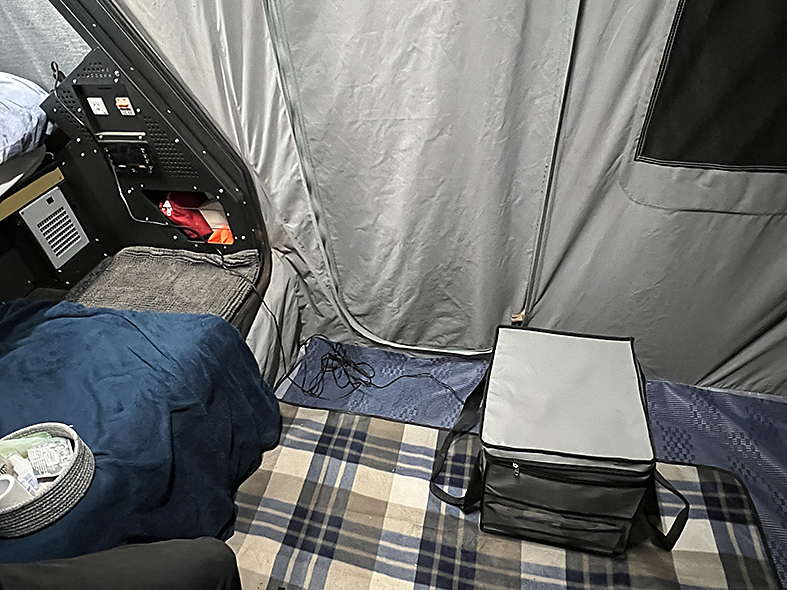
Supplementing our low impact footprint, a Compo Closet Cuddy portable composting toilet is onboard, to manage human waste. Inside the Cuddy, a composting medium breaks down solid waste, ensuring our 17-day off road adventure is completed without the need to empty the solids waste bucket. Liquid waste is diverted to another container for easy and more frequent disposal.
Day 1, Adelaide Hills to the Dog Fence, 991km
Our goal is the Dog Fence, 104km west from Coober Pedy, a big ask after our 887km hike from the Adelaide Hills. Scanning for wildlife, we forge on beyond dusk with the words “are we there yet” chanting over and over in our heads.
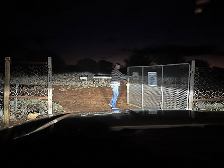
We finally reach the Dog Fence, but rather than drive straight through, there is an interesting detour 3km south to the only gate, only to have to drive the 3km back along the other side of the fence. Interesting!
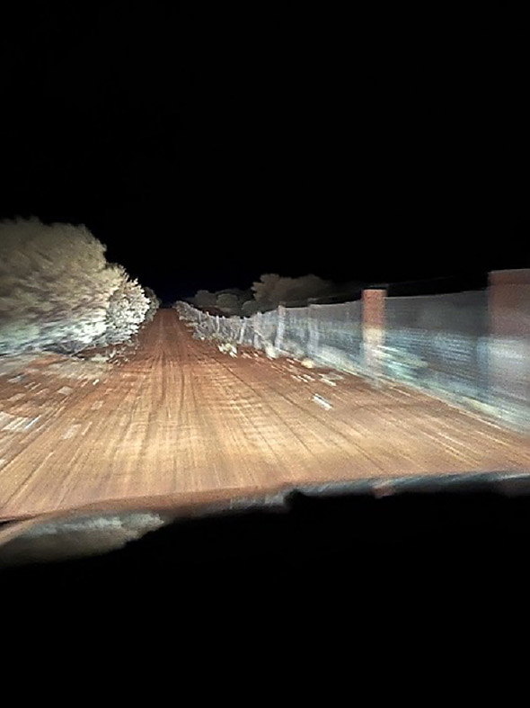
All around, it is black as the inside of a bull as I jump out of the car to open the large gate and I can’t help but ponder why they call it the dog fence and how many dingoes are circling. But I see none. With limited sideways vision, we poke along slowly looking for a clearing for our overnight camp.
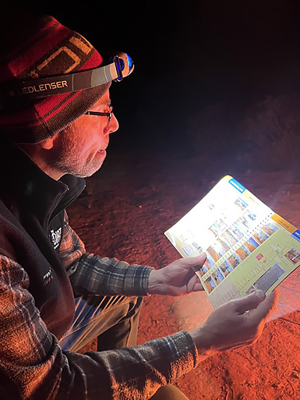
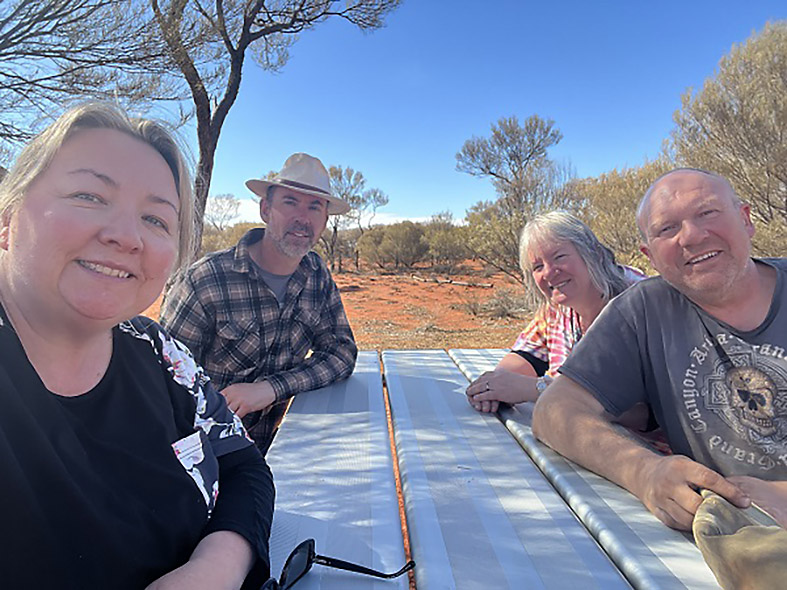
Kudos for the quick Tvan setup, establishing our cocoon like lodgings in minutes, ready for a deep sleep. Out with the camp chairs and table, and a quick meal is prepared, washed down with a few bevvies with our trusty travelling companions Russ and Lee. The maps come out as we discuss what lies ahead for tomorrow.
Spoilt for comforts, the Redarc RedVision management system in the Tvan provides Smartphone app switching. We can operate our diesel heater and electric blanket from our camp chairs to warm up our lodgings prior to bedtime. After a big day of travelling, this is next-level comfort for our weary bones and we gratefully succumb to our toasty doona.
Day 2, The Dog Fence to Anne’s Corner 229km
We wake up at first light, something we soon become accustomed to each morning, to take in the amazing sunrise in the clear sky.
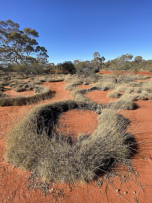
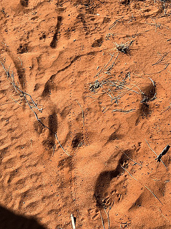
Discovering animal prints around camp is the order of business each morning, eat breakfast, pack up, perform our vehicle checks, and adjust tyre pressures. With more corrugations and sand expected, we’re down to 18psi on the front axle, 22psi on the rear and 18psi on the Tvan. Air bags on the back of the Raptor are set to 20psi to minimize rear sag and keep the shockers in their optimal working range.
The ride is supple, easily soaking up the bumps and without jarring Anita’s sensitive back. We are now in Raptor – Tvan country!
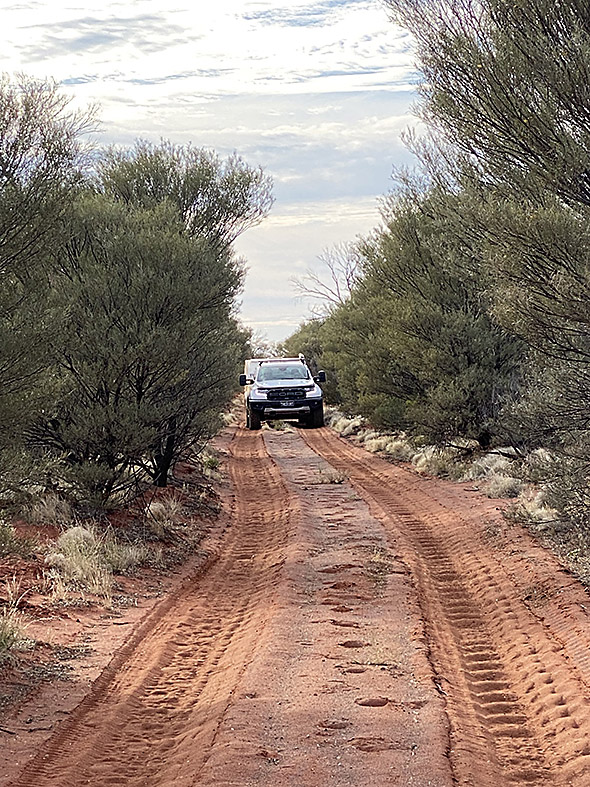
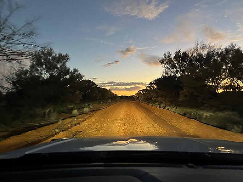
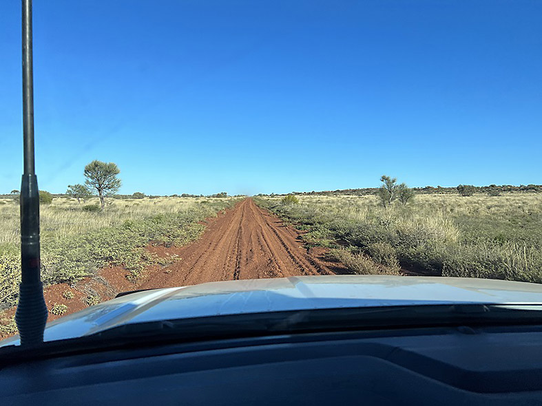
Along this early part of the Anne Beadell Highway, scrub parallels the track without encroaching too much. There is plenty of room for both Raptor and Tvan. There are chicken tracks to the sides, to avoid the worst of the corrugations, although this early section isn’t too bad. Supporting other traveller feedback, we find 50km/h a good medium between comfort and safety, able to ride on the top of the bumps, rather than feeling every rise and fall. But often, limited vision dictates a much slower pace.
Len Beadell, Australia’s Great Explorer
Just prior to the trip, we’d read Len Beadell’s book, Bush Bashers, which tells the story of how he and his road gang constructed the Anne Beadell Highway, and the incredible hardships faced in doing so. In addition, he mapped out the area where the atomic bombs were tested, an area you pass through along the way. It is great reading, as are the other Beadell books describing the other tracks constructed for the Government.
A good map or GPS is essential out here to locate the points of interest and navigational markers. Without relying on GPS co-ordinates, we use the map and distances to locate the identified markers, but many have been souvenired or are difficult to locate, especially given our compressed timeline.
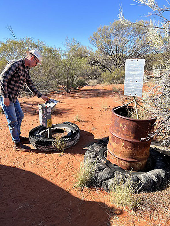
It’s not long before we see our first historical landmark in the Tallaringa Conservation Park; a fuel drum with 1961 etched on the side.
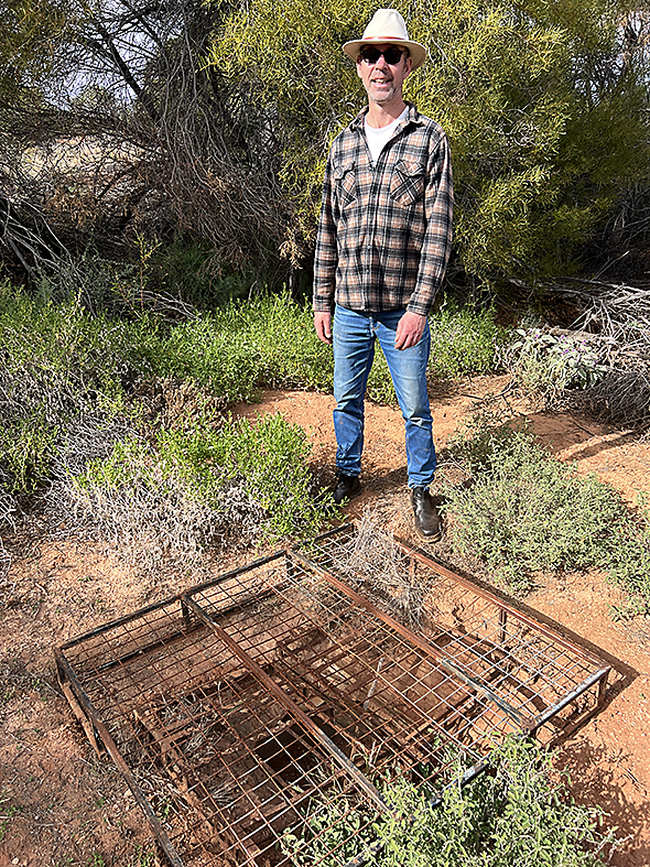
Shortly after, we reach Tallaringa Well. The well is not maintained, and is covered with a metal frame to keep humans and animals out.
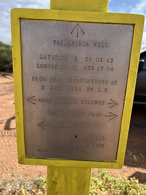
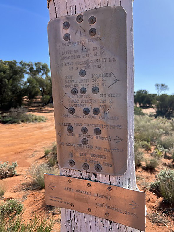
A Len Beadell plaque still stands, marking the location.
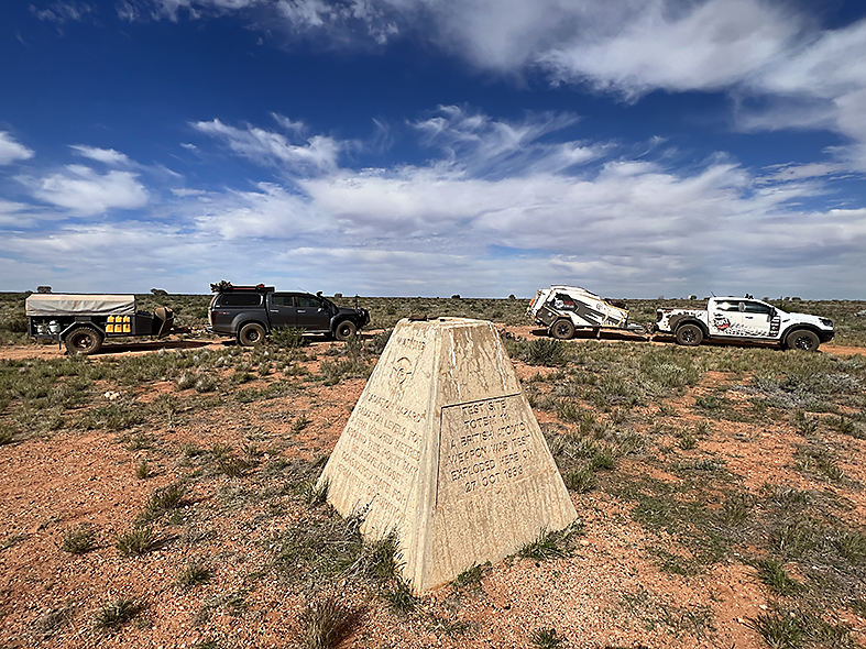
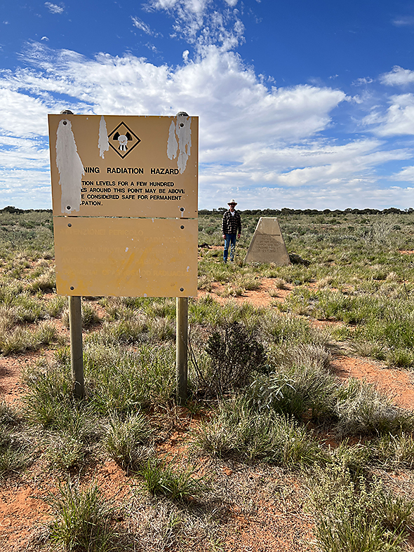
Moving on, further west we leave the conservation park behind as we enter the Maralinga Tjarrutja Aboriginal Land often referred to as MT Lands. This is the 3rd of the permit areas, the others being the Tallaringa Conservation Park and the Woomera Prohibited Area. This takes us to Emu, the site of the atomic bomb testing.
Towards Emu, the track changes from red sand country to iron stone, and combined with the corrugations, it makes for uncomfortable travelling. The map marks two specific areas with severe corrugations and rocky outcropping.
The atomic site is 4km off the track to the northeast. Concrete stands can be seen, used to support structures used in the blasts. Fatigued metal components litter the ground in some areas indicating the force of the blast.
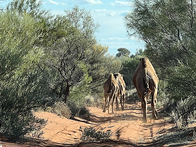
Here we see our first camels for the trip and later run into a trio trotting along the track. They are happy to poke along in front of us, without any urgency to move. Safely getting a little closer, we can nudge closer, encouraging them to change bearing, diverting into the scrub.
Red Dune Country
Beyond the atomic site, we return to red dune country which is a pleasant relief from the ironstone bumps. We find another marker, this time a cross made of rocks in the sand.
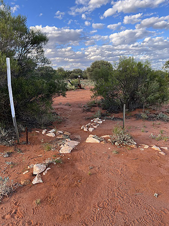
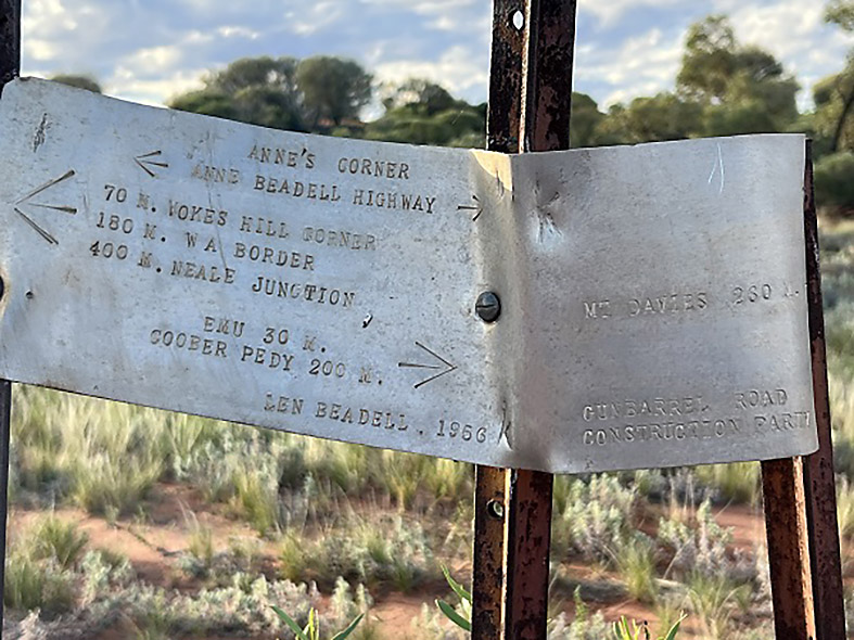
We reach Anne’s Corner, our overnight stop, and spot another Len Beadell plaque.
Through the scrub, we spy another vehicle. They are travelling solo in a Hilux on a much more leisurely itinerary, exploring many of the sidetracks.
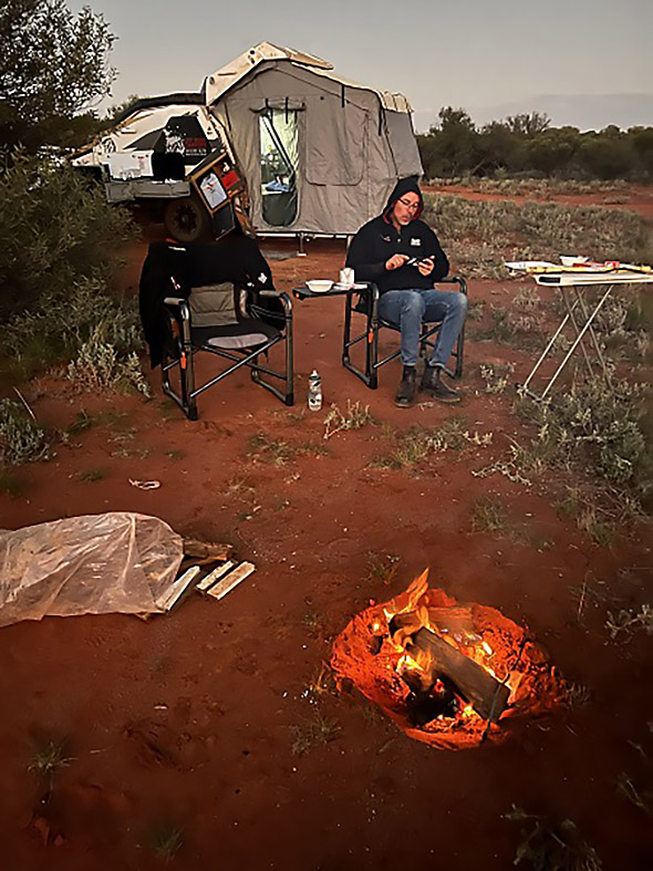
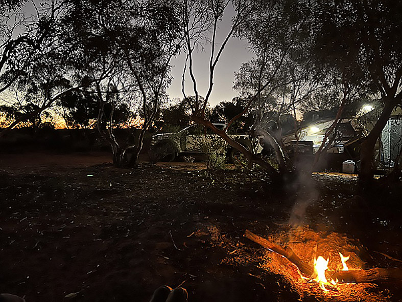
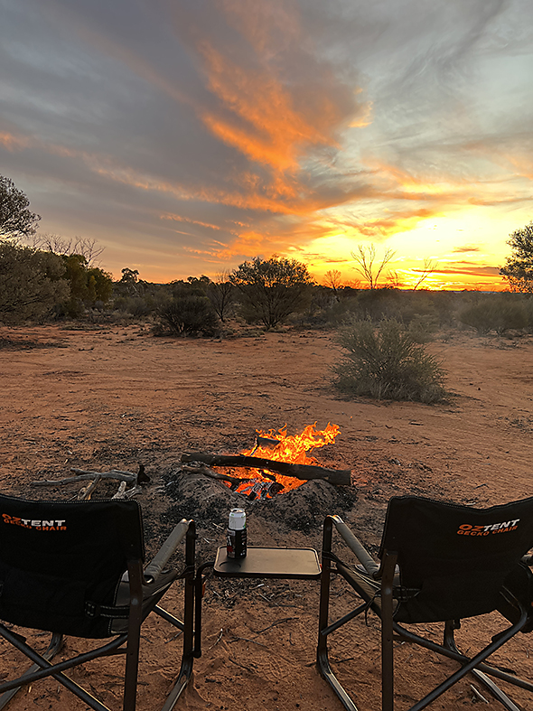
We enjoy our first campfire for the trip using red gum we’d purchased before leaving. Arriving around 4pm, we have plenty of time to set up at a relaxed gait, look around, soak up the landscape, cook dinner, and light a small comfort fire.
It was perfect, looking up into that clear night sky, littered with stars. All alone, there is no booming music, loud voices or slamming car doors early in the morning. Just us!
Day 3, Anne’s Corner to Mamungari Conservation Park, 245km
Up at first light once again and still no animal footprints around camp. We douse the hot coals with water and top with sand, marked with a stake, so other travellers’ can avoid our firepit.
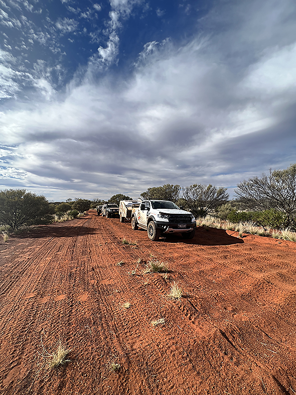
Our 2-car convoy has become 3 with the addition of our fellow campers. By now, we are accustomed to our regular callouts over the UHF to warn oncoming traffic of our proximity. “Anne Beadell Highway, three vehicle convoy travelling west, 2km past Anne’s Corner.” We do this regularly on Channel 40, the designated communication channel for the track.
Sand flags were problematic along this route, due to the tree cover, so we opted not to use them.
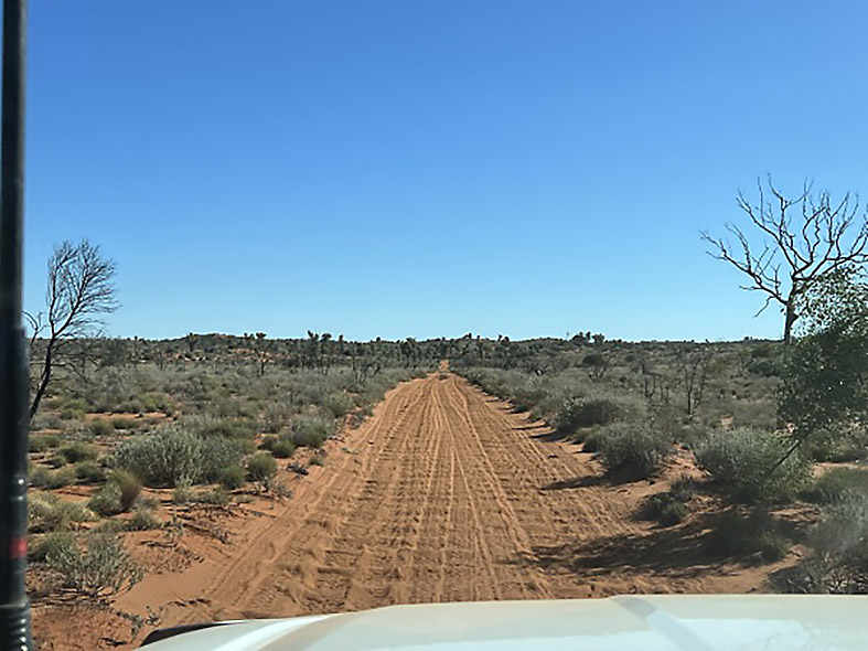
The track was opening up from here and we were able to move at a faster pace.
If we had more time, we would have pottered along at a slower pace, but as we had 17 days in total and wider plans including the Great Central Road, Sandy Blight Road, Garry Junction Road, Boggy Hole in Finke Gorge National Park, and a few days at Uluru, we opted to push along.
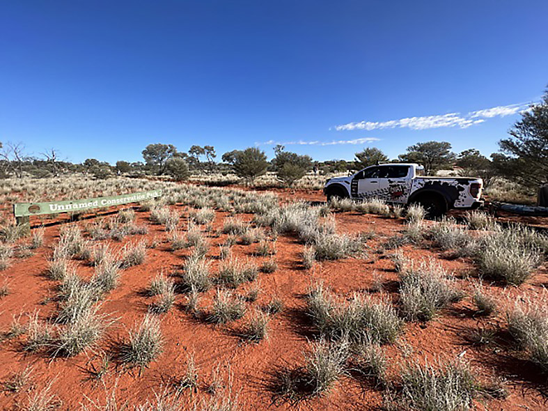
We enter the Mamungari Conservation Park which is still marked as the Unnamed Conservation Park and stop at Vokes Hill Corner. Here, there’s a track junction to Cook on the Eyre Highway. Lunch is prepared and we take in the newly constructed shelter, water tank, and toilet. After signing the Visitors Book, we are back in the vehicles.
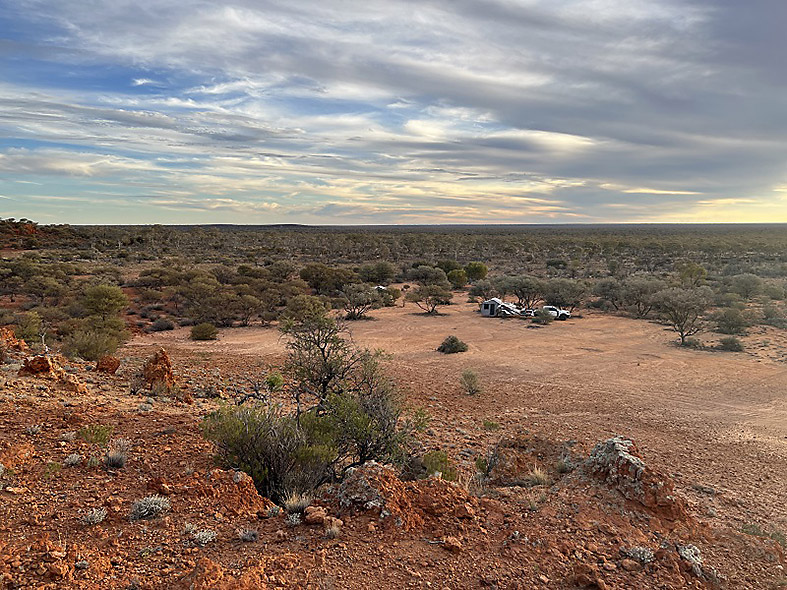
Beyond Vokes Hill, the track is varied. There is soft sand, rocky sections, and some bad washouts which mandate getting out of the car to spot the best line through. Small, vegetated red dunes add some excitement. We push past the end of the no camping/culturally sensitive area to our overnight camp at Benchmark 4873.
Our increased pace, has us arriving in camp ahead of schedule, so we take the opportunity to do some washing and other vehicle checks. Everything is travelling well.
Induction hotplates on the Tvan are a boom for instant heat, enabling us to quickly prepare our meals at night, before flopping into our camp chairs around the fire.
Day 4, Mamungari Conservation Park to Paltju Tank Camp, 249km
Our first morning of freshly cooked egg and bacon – now this is living! Back in red sand country, we soon reach the Serpentine Lakes where we spot more camels and water to the northern end.
The track crosses the lake on a firm base. A big, soft dune greets you on the other side. You are now in Western Australia and the Great Victoria Desert, home of the Spinifex people. And yet another Visitor Book to sign.
For a change we see plenty of animal footprints in the sand, both micro size and larger. This side of the border has more facilities with a higher frequency of shelters and toilets available. South Australia Parks and Wildlife Service please take note!
This is a fun leg, with lots of dunes, and a twisting track.
Fuel Storage
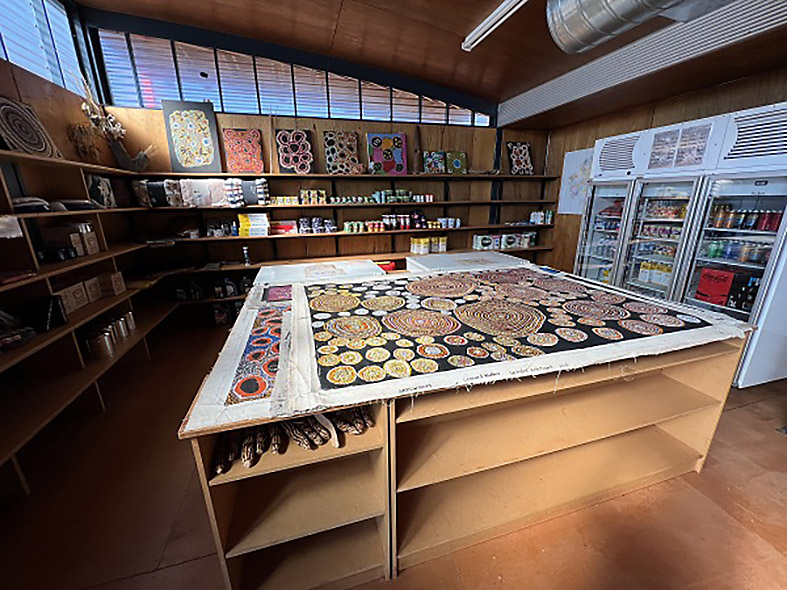
In addition to our long range tank of 150L, we are carrying an additional 60L of diesel in jerry cans stored in the Tvan front box, which we tip in on days 2 and 3. We stop in at Ilkurlka to refuel and look around. The store has plenty of aboriginal art and a few staples. If you like Spam, your are in luck as they have it in spades. We purchase some aboriginal artifacts for our shop and pay for a hot shower at the campground.
Fired by a donkey boiler, it is already alight when we arrive and we enjoy a relaxing shower.
Buzzing from the aroma of shampoo, we push on to our overnight camp, a further 47km away. We pass only our second group of travellers for the trip enroute to the camp. And again, we have the camp to ourselves. Cheese, bikkies and wine kicked off happy hour to a tee.
Day 5, Paltju Tank Camp to Point Sunday, 313km
The track is really opening up with many long straight high-speed sections, punctuating the dune crossings. In parts it looks like a dual lane highway, with another set of wheel tracks running parallel to the first, to avoid the corrugations.
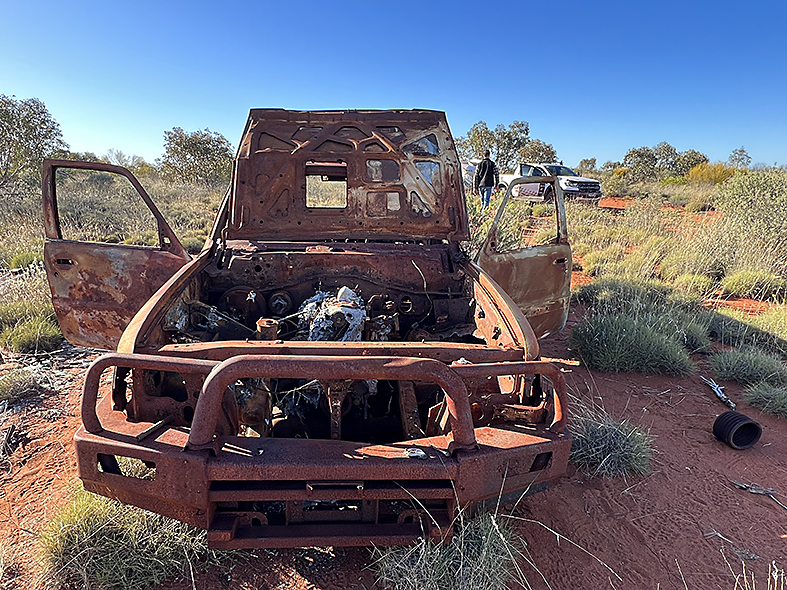
On the way, we pass the burnt-out wreck of a Nissan Patrol next to the track and ponder its fate. There is plenty of spinifex around and we wonder if contact with hot exhaust components is to blame or perhaps an electrical fault.
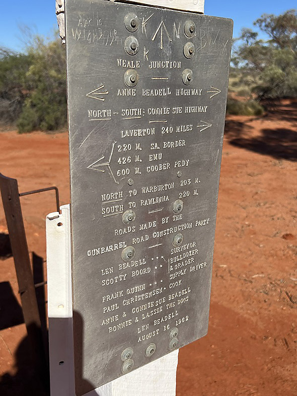
We stop at Neale Junction, to view the plaque and sign the next visitors’ book. It’s the first plaque to list the Gunbarrel Road Construction Party members. It is also the junction of the Connie Sue Highway that travels south to Rawlinna or north to Warburton, another of Len Beadell’s tracks.
We pass the memorial to Anne Beadell, wife of Len. Then stop at Bishops Reilly Pulpit. A walking path leads to the top of the rock, but with marble sized pebbles on the rise, we find it disconcerting underfoot. YouTube videos have shown other travellers standing on top, but we can’t find the path and don’t want to risk slipping.
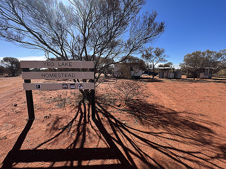
We move on to Yeo Homestead our planned overnight stop. The building is in a poor state of repair and is roped off preventing public access. Add to that, the toilet is on the beak, so we opt to move onto Point Sunday for our final night after a short break.
The large open campground at Point Sunday is on the southern side of the track, so don’t turn north towards the Great Central Road as we did initially. Again, no other travellers to share the beauty with. However, the flies are bad enough to resort to head nets.
The Starlink Satellite Dish gets a guernsey and we call the office and our families to check in and catch up with emails and FaceBook. We climb the small escarpment to view the sea of green in all directions.
Another evening, another campfire and enjoying the sounds of a crackling fire and little else. How’s the serenity?
Alas, this marks the end of our Anne Beadell adventure – 1140km of remote goodness. From here we travel north to the Great Central Road and onwards to the next leg of our adventure.
We have survived one of the most remote outback treks in Australia. Good planning, vehicle and camper preparation, sensible tyre pressures, and common sense have ensured our success.
Average fuel consumption to Ilkurlka 17L/100.
Trip completed May 2023.
Lessons Learned
If we were to do it all again and we had more time up our sleeves, we would travel at a more relaxed gait, aiming for around 150km a day. As it was, we drove to the conditions. We had no flat tyres or blown shock absorbers and our equipment performed admirably considering the unrelenting corrugations.
The Tvan was rock solid. We measured shocker temperature through the worst of the corrugations around Emu and the highest reading was 80 degrees Celsius. There were no burst seals or failures.
The comforts brought about by the new Tvan Lightning upgrades were huge – the big inverter allowing us to run the induction cooker, RedVision for remote switching of appliances, the big Lithium batteries, and the impressive Redarc charging system.
Our next leg takes us up the Great Central Road to another of Len Beadell’s tracks, the Sandy Blight Junction Road. You can view that HERE.
For more information on the Tvan Lightning see here – https://thedirt4wd.com.au/products/track-trailer-tvan-lightning/