Looking for a remote adventure, tracing the footsteps of Len Beadell, one of Australia’s greatest adventurers?
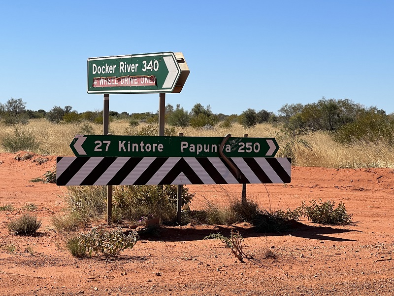
The Sandy Blight Junction Road could be your escape ticket, located between Docker River (Kaltukatjara) and Kintore (Walungurru), near the intersection of the Northern Territory and Western Australia borders.
Having whet our whistle on the washboard corrugations of the Anne Beadell Highway only days earlier, we were intrigued to learn why the Sandy Blight Junction was considered Len Beadell’s favourite track, despite contracting an uncomfortable variation of conjunctivitis at the time.
But first to get there.
Day 6, Point Sunday to Warburton 550km Turning off the Anne Beadell Highway at Point Sunday, we take a northerly bearing towards the Great Central Road. This popular thoroughfare is essentially a transit road through indigenous communities which joins Laverton to Uluru and beyond.
A 3-day transit permit allows passage through to Uluru.
The Great Central Road is part of a longer trek known as The Outback Way or Australia’s Longest Short Cut, which stretches from Laverton in Western Australia to Winton in Queensland, racking up 2700km.
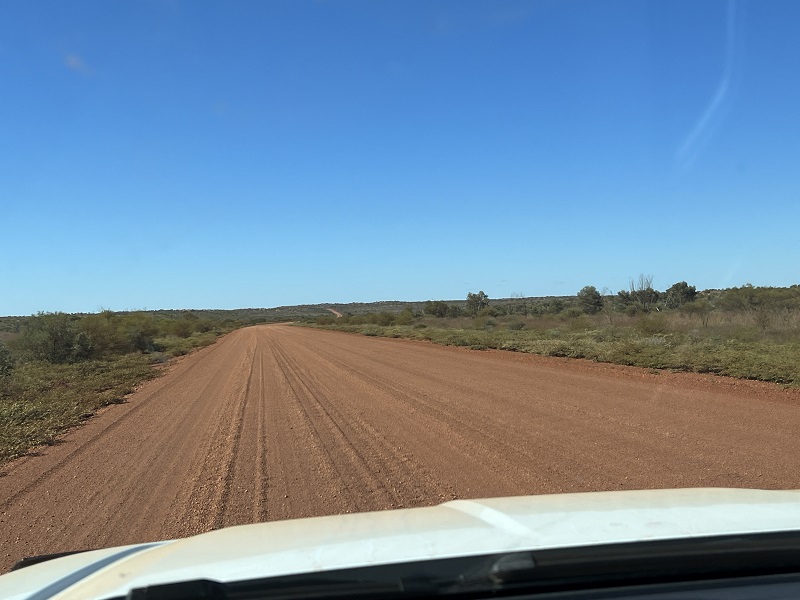
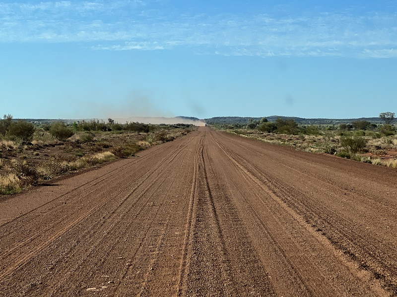
It is big, wide, unsealed and generally smooth, at least after the tracks we’ve been on.
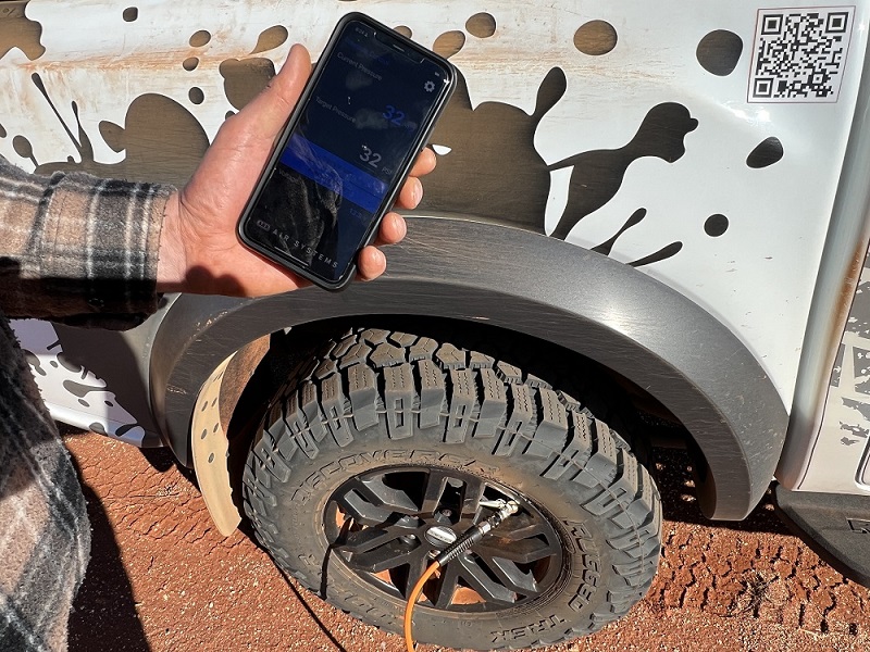
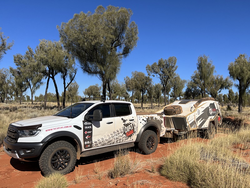
After airing up to high-speed dirt road pressures, it was smooth sailing from there at a comfortable 90-100km/h cruise with the Tvan tagging along behind, although with pockets of deep gravel, we selected 4H to maintain stability and safety.
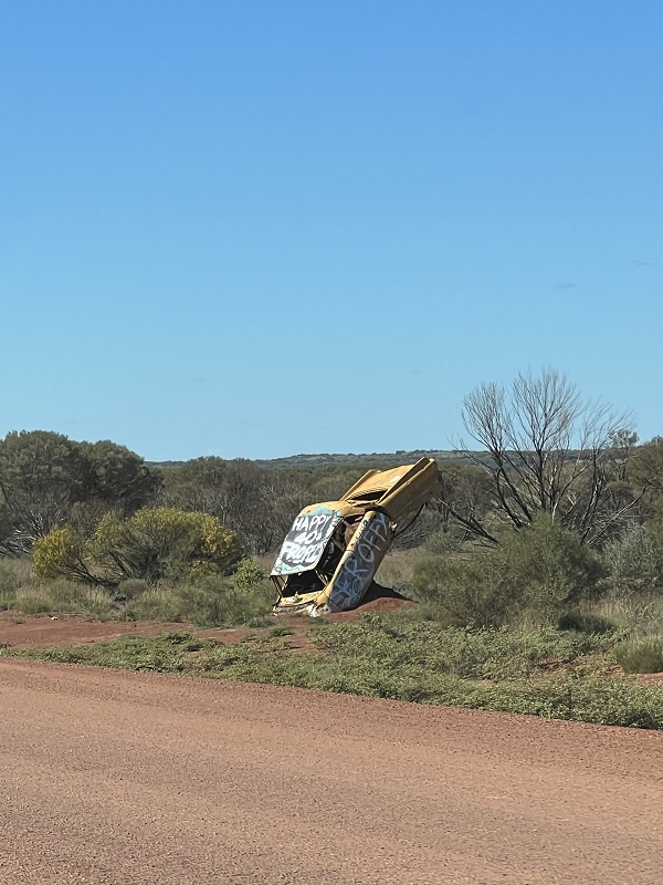
While the Nullabor has themed trees of undies, sandshoes and other garments to keep you entertained, the Great Central Road is littered with wrecked vehicles which makes for a busy game of Spotto.
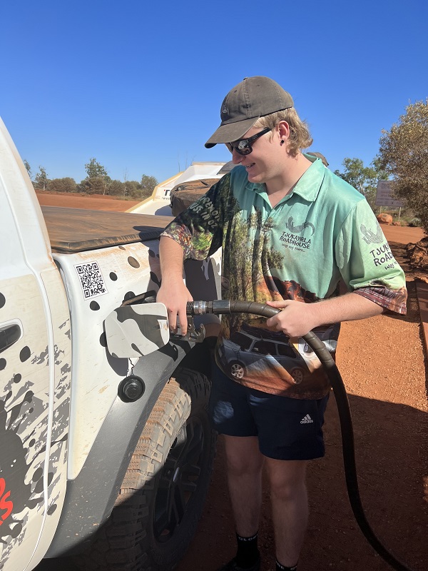
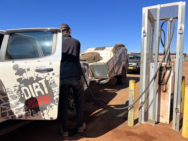
The first order of the day was to stop in at Tjukayirla Roadhouse to fuel up and sample their famous chicken burger.
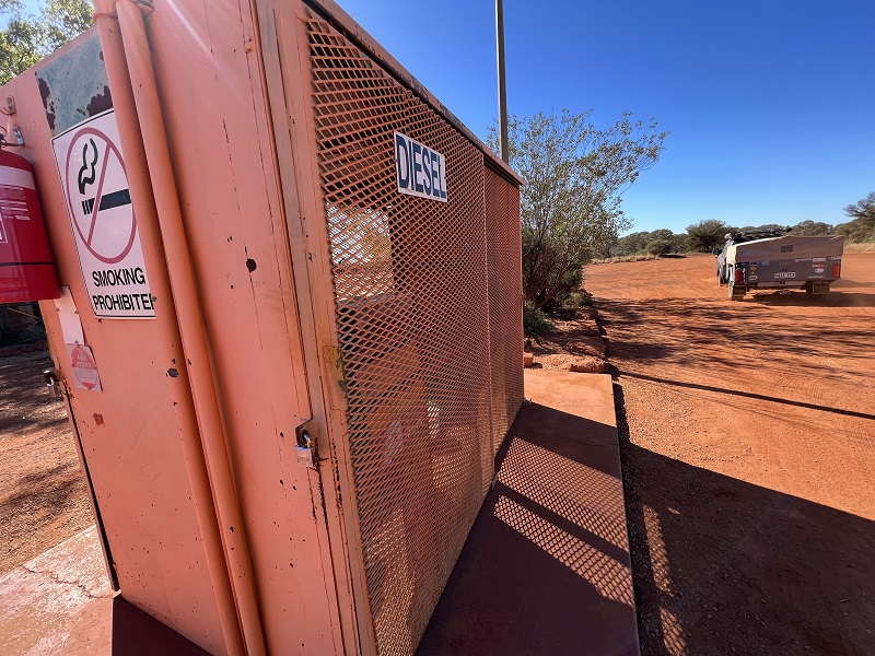
Like all indigenous communities along this stretch, the fuel bowsers are locked in cages and considered a precious commodity. Fuel pricing is eye wateringly high at $3.20/litre, higher again on the more remote tracks. Still, it’s worth every cent to be out here travelling in the steps of our pioneers and away from the masses.
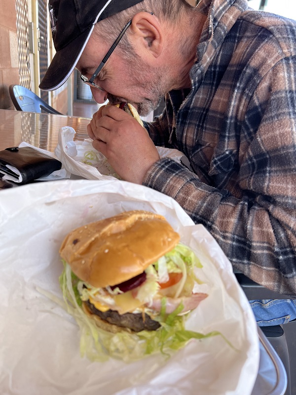
Given all the talk about their famous chicken burger, we were a little surprised that our burger orders were in fact beef. Nevertheless, they were very tasty and we left licking our lips.
The Roadhouses provide suggested overnight stops and there are dedicated camping areas just off the road.
Rubbish is an ever-present issue, with many travellers not attuned to the bring it in and take it out idea. Pity, as it quickly becomes a scar on the landscape. What may start as rubbish left orderly in a tied bag or in an open topped bin, quickly litters the landscape thanks to wild animals and the wind. Take it with you folks and dispose where you buy fuel!
Looking far into the distance, we can see big plumes of dust warning of an approaching vehicle. Depending on the direction of the wind, you may need to pull off the road and wait for the dust to settle. Showing respect to other road users, we slow down and drive as far to the left side of the road as is safe to do so, to avoid ejecting rocks at passing traffic. Aggressive all terrain tyres can eject good size rocks, so it is good to be out of the firing line.
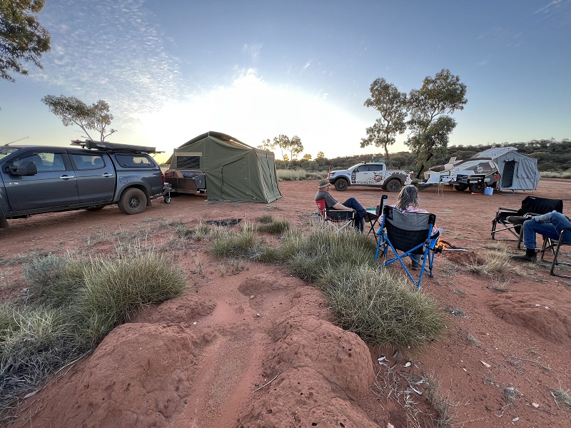
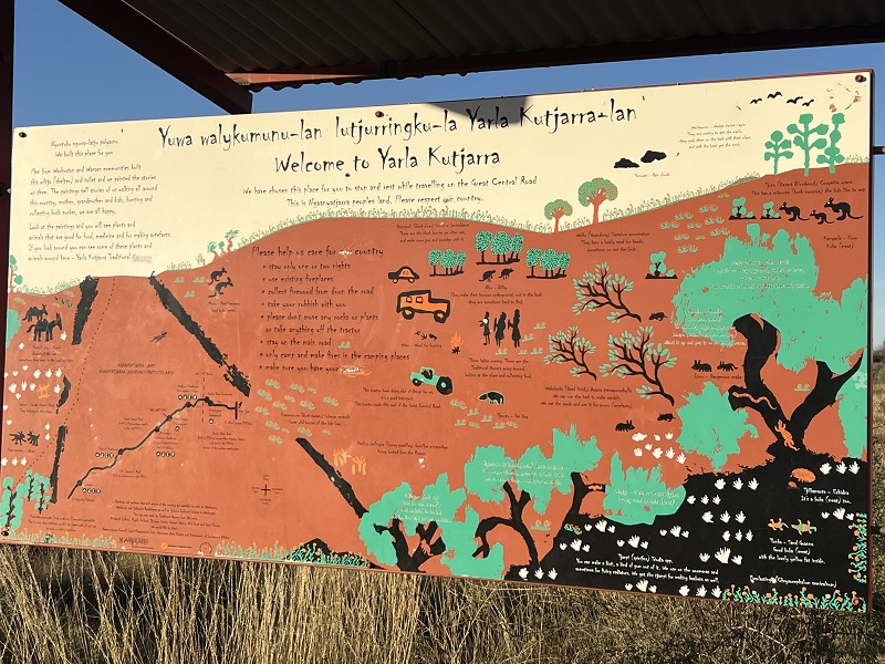
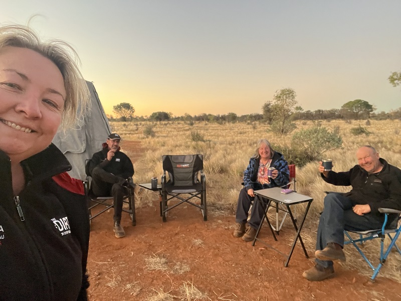
We camp at Yarla Kutjarra overnight, about 80km beyond Warburton with long drop toilets and interpretative signage sharing the history of the land. During the evening we hear our first dingoes howling for the trip, which is both exciting and eery.
Day 7, Warburton to Sandy Blight Junction Road 496km
Up at first light again, keen to get off this big brown superhighway and spend a few days discovering why the Sandy Blight Road was one of Len Beadell’s favourite tracks. And to help with that, our plan is to soak up the peaceful landscape over two days. Yes, that’s right. No driving! But first to get there and find a suitable camp.
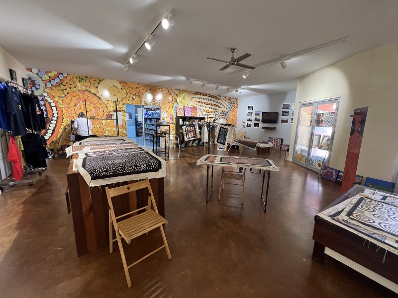
Enroute, we refuel at the Warakurna Roadhouse and purchase some local artwork. Next stop the Giles Weather Station.
Access to the Weather Station is not permitted from the main entrance and signage is poor. However, if you backtrack towards village and take the first dirt track on the left, you’ll find yourself at a carpark at the rear of the property where public access is permitted.
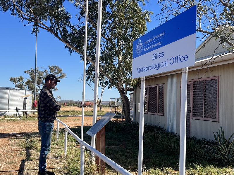
And it is well-worth stopping. The weather balloons are released early in the morning if you’re keen. There are also rocket remains and machinery from the Gunbarrell Road Construction Crew.
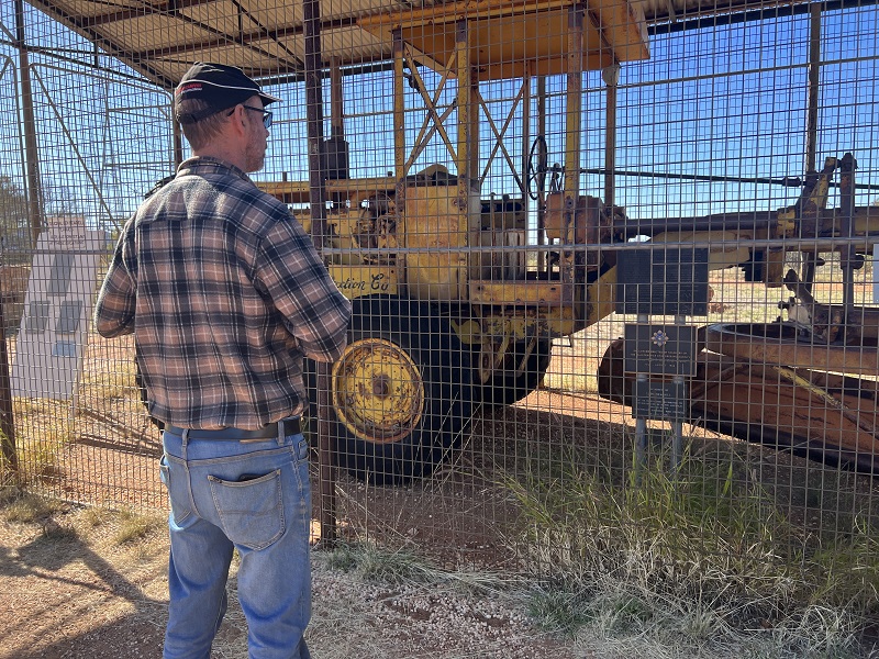
Len Beadell’s books make great pre-reading, learning of the hardships faced to construct these roads which are now considered iconic touring trips.
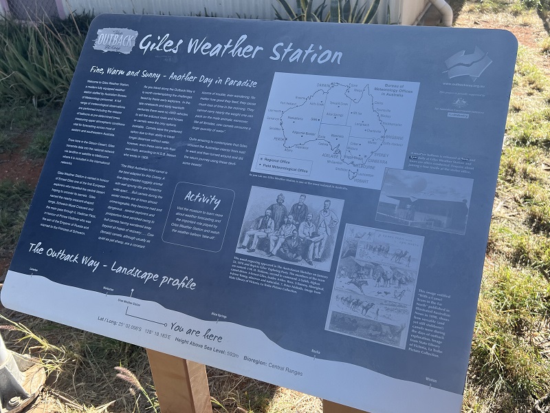
Then there is the museum with lots of weather and Len Beadell memorabilia.
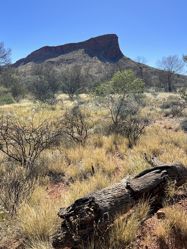
Beyond Warakurna, the road carves through some hilly country and our excitement is building for our next off road leg. We finally reach the track junction and turn onto the Sandy Blight Junction Road.
The track is once again narrow although reasonably well formed and soft in sections, enroute to the local community.
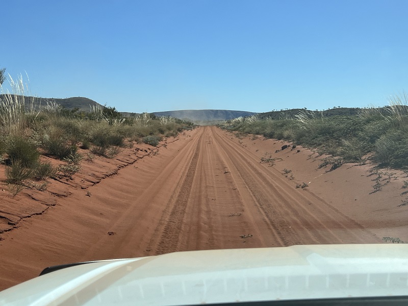
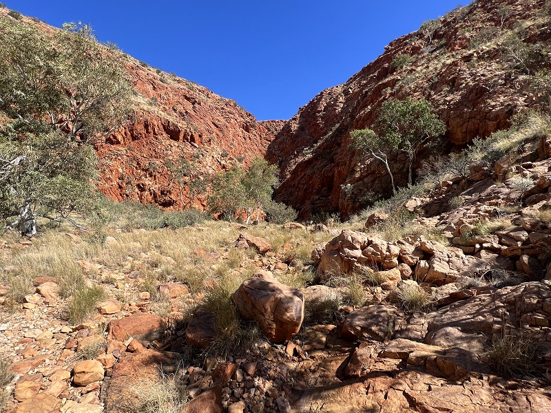
We arrive at Bungabiddy Rockhole, our planned overnight stop, by mid-afternoon. The track is very lumpy and it’s worthwhile knocking air out of those high-speed dirt road pressures before entry.
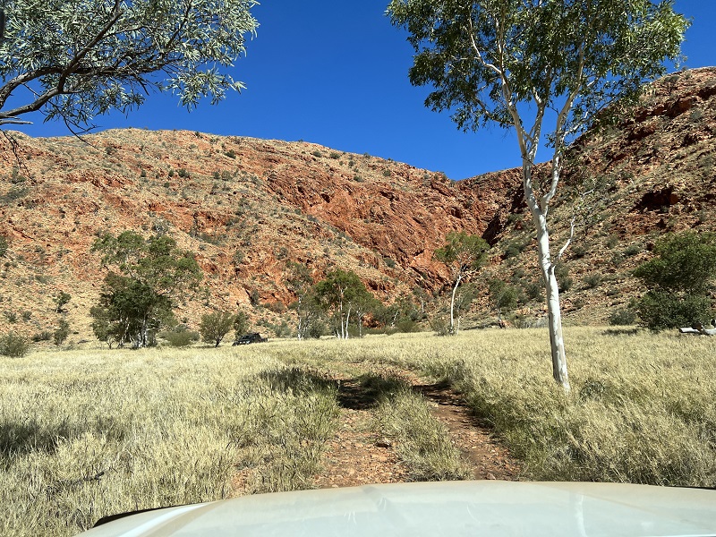
The walk to the Rockhole is not defined and you inevitably end up walking through long grass and navigating rocky sections which can be a bit tricky if you are mobility challenged. But it’s worth pushing on as the tall escarpment provides shade from the searing sun and is very pretty.
Beyond the community, the track narrows to a single lane and we’re back to sand tyre pressures to navigate the red desert environment. Desert Oak trees decorate the landscape and give the environment a peaceful ambience.
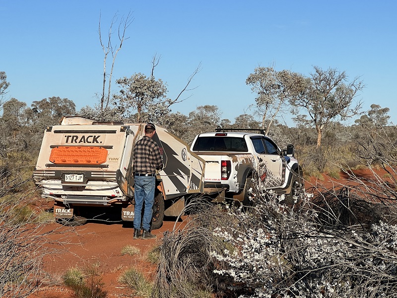
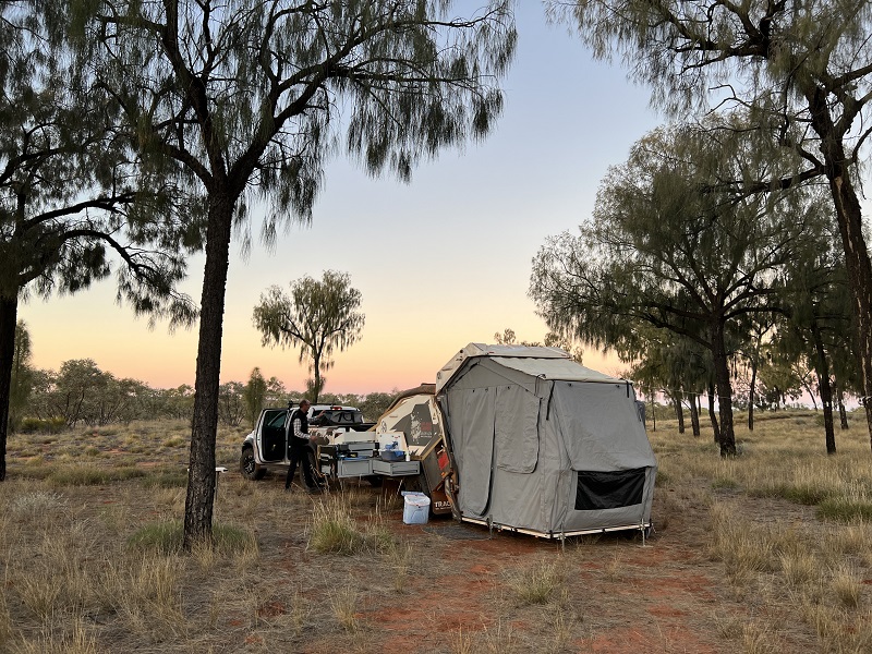
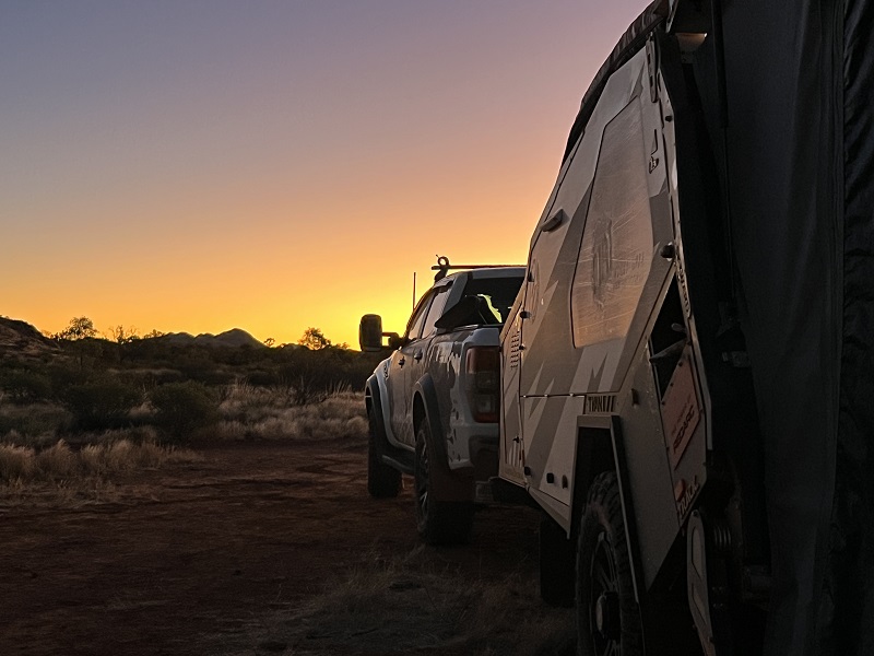
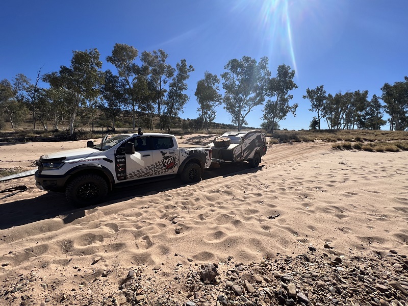
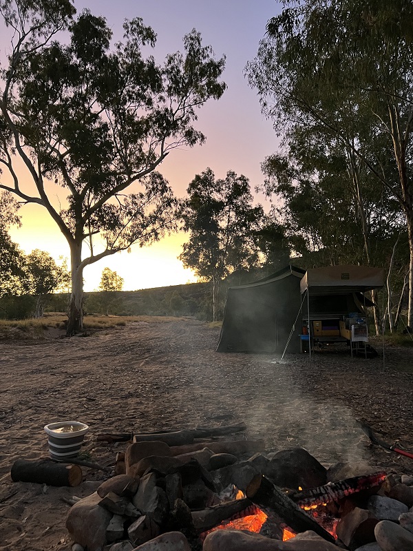
There are no dedicated camps along here and with limited clearings, finding a camp suitable for our travelling companion’s soft floor camper is challenging. Wiki Camps to the rescue, locating the Desert Oaks Bush Camp, tucked into the bush. Private, secluded, and perfect for our 2-day rest.
Day 8, Day of Rest
Ahh to sleep in, a cooked breakfast and time to smell the roses. Vehicle checks, firewood collection, exploring on foot. The only vehicles we have seen so far is a convoy of Earthcruiser truck campers before the Rockhole. It’s quiet, it’s beautiful, and we can see why Len Beadell regarded it so highly.
Day 9, Sandy Blight Road to Papunya, 476km
Our goal today is to poke long towards Kintore/Walangurru Roadhouse in the Northern Territory to refuel and camp somewhere before the Gary Junction Road intersection. The roadhouse is 30kms off the main track and being Sunday, we aren’t confident fuel will be available and with dwindling fuel supplies, we opt to press on.
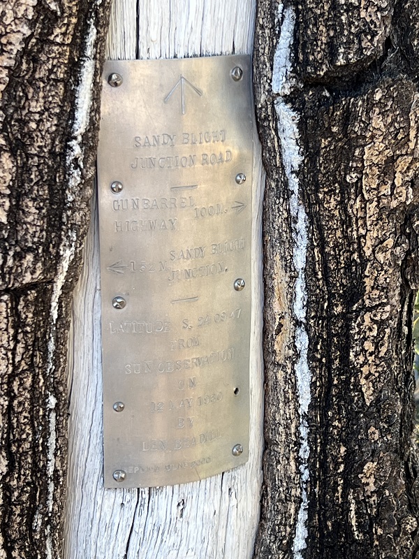
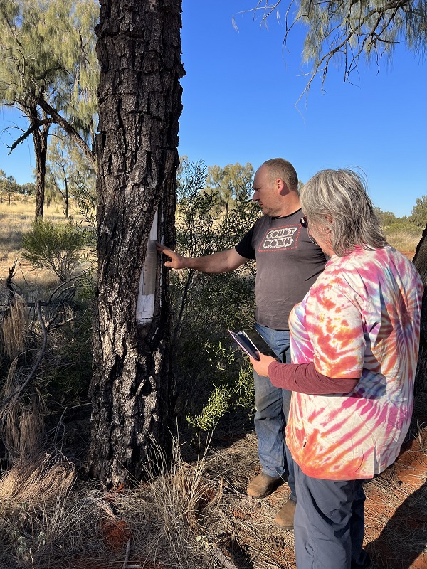
Along the way there are many points of interest, from the landscape to replica plaques left by the Gunbarrel Road Construction crew.
The changing landscape is interesting. One minute, you are poking along red soft sand and over dunes and later driving along a rocky creek bed. Water damage is evident in parts and the track skirts around these sections.
With a big day planned for day 10, we opt to push on to make it more manageable, reaching the intersection of the Gary Junction Road. We turn east towards the West Macdonnell Ranges.
The Gary Junction Road is another Len Beadell track, although it’s more of a main thoroughfare. But unlike other main routes, this is hard going in parts. Momentum softens out the ride, but there are still patches of healthy corrugations, mud holes and water runoff areas to negotiate, fallout from Cyclone Ilsa the month prior. Another transit permit is required.
Having missed the last Roadhouse, we’re almost running on fumes by the time we reach Papunya. We refuel at the community store and grab some lunch.
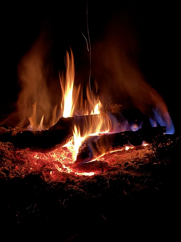
Motoring on, Wiki Camps delivers again as we stumble upon the Jaggered Rock Hill Camp, just off the road. You can still see the passing traffic thunder past, but there is enough tree cover for relative privacy. The point of interest is the hill, and yes, it is jaggered and rocky. Russ tests out his mountain goat skills after a few beers, while we prep the first aid kit, thankfully to no avail. He returns in one piece!
Day 10, Papunya to Finke Gorge National Park, 160km
Hermannsburg is our initial goal and it’s good to be back on bitumen and out of the dust, even if it is short lived. There are no public toilets open in town, so we visit the historical precinct to ask for directions and they allow us to use their facilities.
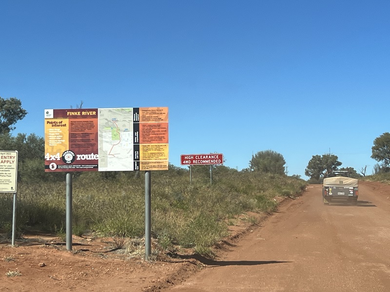
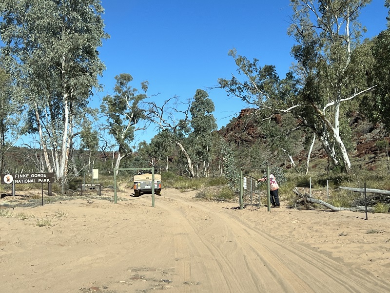
From Hermannsburg, we follow the Finke River 4WD route into the Finke Gorge National Park. This trek snakes its way south towards the Ernest Giles Road, as a backway to Watarrka National Park (Kings Canyon) or Uluru.
It is not recommended for caravans or trailers, however it’s passable for off road camper trailers with care.
Before entering the national park, we harvest some firewood and travelling companions Lee and Russ rack it up, securing it for our bumpy ride in.
Once in the park, the track quickly regresses to soft sand, mandating a tyre pressure change.
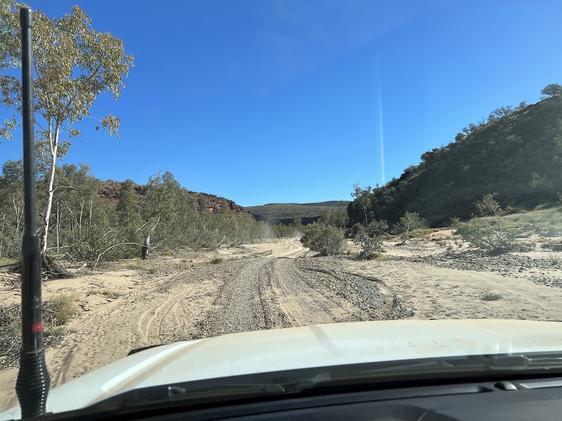
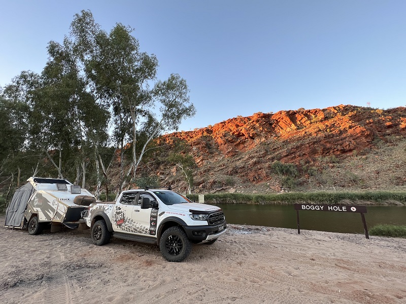
The main camp area is at Boggy Hole, a permanent water hole, and takes around 3 hours from Hermannsburg. Driving on river stone, some sections are easy going, following the river between the sea of gum trees. Other sections are soft sand and requires care to traverse.
Tall ochre-coloured escarpments greet the eye from every angle. We take our time, soaking up the beauty of this pristine environment.
After Sandy Blight, this is one of the key highlights of the trip – we’d come back here in a heart beat!
We camp at Boggy Hole for two nights. A few day trippers pass by in both directions, but only one vehicle stops overnight on day two.
Some of our party walk to the ruins on the other side of the water. The walking track is in poor condition and we find ourselves walking through hip high long grass in a stomping fashion to warn off any reptiles.
The elevated ruins provides a good viewing area, back along the water to the campsite.
Join us next time for the final off road leg of our adventure, as we trek south along the Finke River 4WD Route towards Kings Canyon and beyond to Uluru.
You can catch up on our earlier Anne Beadell Highway leg HERE.